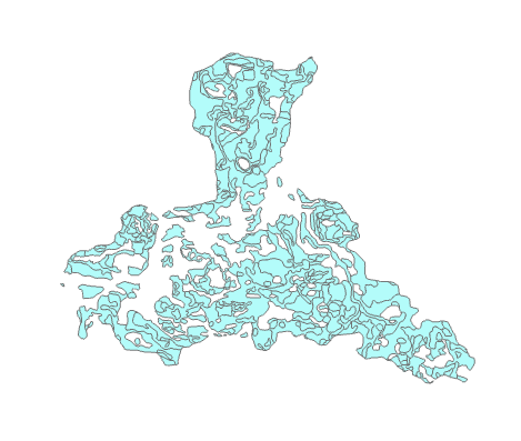

For this lab I worked with several methods of using geoprocessing tools. The first method was to use the tools in a model builder in ArcGIS Pro as you can see in the first two images. The first image is the actual model and as you can see it is separated into three distinct sections such as the input data in blue, the tool in yellow, and the output in green. These models are visualization of the geoprocessing tools like clip and buffer that show you the flow of data. The actual map data can be delayed or activated immediately after the model has been created. Though you can also create the same effect with scripts as in the third image which I was able to generate a script that added XY coordinates to a shapefile and a buffer that dissolved into a single layer. So from this module I learned how to use geoprocessing tools in two different ways to produce the same analysis as the normal toolbox tools in ArcGIS Pro and I learn the scripting behind them that makes them run properly.


No comments:
Post a Comment